Hey there, curious minds! When navigating and exploring, the decision between 2D and 3D mapping techniques can be pivotal in securing the best possible results. Today, we’ll casually delve into the world of mapping and identify when to apply each method for optimal outcomes. 2D vs 3D mapping, find out which is best for you!
Understanding 2D Mapping
First up, we’ve got the classic 2D mapping. It’s the OG of maps, giving you a flat, no-nonsense view. Think regular road maps – that’s your 2D buddy. Perfect for everyday stuff, like city navigation. It’s like your trusty GPS in your pocket, keeping things simple and straightforward.
When you’re out and about in the city, 2D mapping has your back. It’s like having a friendly neighbor guide you through the streets. You get clear directions without all the techy talk.
Exploring 3D Mapping
Now, let’s add some depth, literally. Enter 3D mapping. This one brings in elevation, contours, and perspective. Picture planning an epic hiking trip – you want to know those steep hills and cliffs, right? That’s where 3D mapping comes into play. If you love the great outdoors, this would be your first pick. As for architects and geologists, it’s the real deal for checking out structures and terrains.
In the great outdoors, 3D mapping is your adventure buddy. It’s like having a personal guide for your hiking escapades, making sure you conquer those peaks safely. It actually provides them with all the information they need for their projects and research so it’s actually like a treasure map for architects and geologists. 3D maps provide professionals with all the information they need for their projects and research so it’s actually like a treasure map for architects and geologists.
When to Use 2D Mapping
But hey, when life’s all about keeping it easy, 2D mapping is your wingman. Great for everyday city adventures, like cruising through town or exploring new places. It’s like the friendly neighborhood guide – no fuss, just straight-up directions.
Imagine you’re going on a road trip. You’re not looking for every little hill or valley; you just want to know where to turn and when. That’s where 2D maps shine. If you don’t want to be overwhelmed with technicalities, 2D maps would be your best bet as they keep things simple and easy to understand.
When to Use 3D Mapping
Now, if you’re all about those outdoor thrills or you’re deep into architecture or geology, 3D mapping is the way to go. while it can be your secret weapon for outdoor escapades as it ensures you conquer those peaks safely, to architects and geologists, this is like a treasure trove of data for projects and research.
Picture yourself planning an epic hike in the mountains. You want to know everything about the terrain – the steep climbs, the rocky paths, and where the views will blow your mind. That’s when 3D mapping becomes your best friend. It shows you all the angles and elevations, so you’re ready for anything.
Why Choose Indy Drone Video
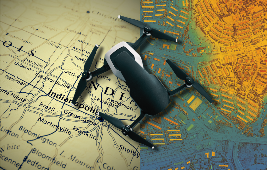
Now, if you’re wondering who’s got your back in the 2D and 3D mapping game, meet Indy Drone Video. We’re the pros in drone mapping, armed with the latest tech to turn 2D into precise 3D models. Whether you’re chasing accuracy in Indiana or need a skilled drone videographer, we’ve got you covered.
We get it – you don’t want to fuss about with mapping technology. That’s where we step in. We take the complex stuff and turn it into easy-to-understand maps. So, whether you’re exploring Indiana or need to capture stunning footage from the sky, we’ve got the skills and gear to make it happen. Contact us now!
Conclusion
To sum it up, whether you roll with 2D or 3D, it’s all about your needs and the task at hand. No need for the fancy words – just pick what suits you best. And remember, Indy Drone Video is here to make sure you rock it with both 2D and 3D mapping for top-notch results.