Indianapolis Drone Mapping
Welcome to Indy Drone Video! Nestled in Westfield, Indiana, we’re your go-to experts for drone mapping, serving a variety of industries with passion and precision. Our team, equipped with the latest drone technology, transforms high-flying aerial shots into incredibly detailed 2D maps and 3D models. These tools are more than just images; they’re windows to insightful data that help businesses, local governments, and individuals make smart, informed choices.
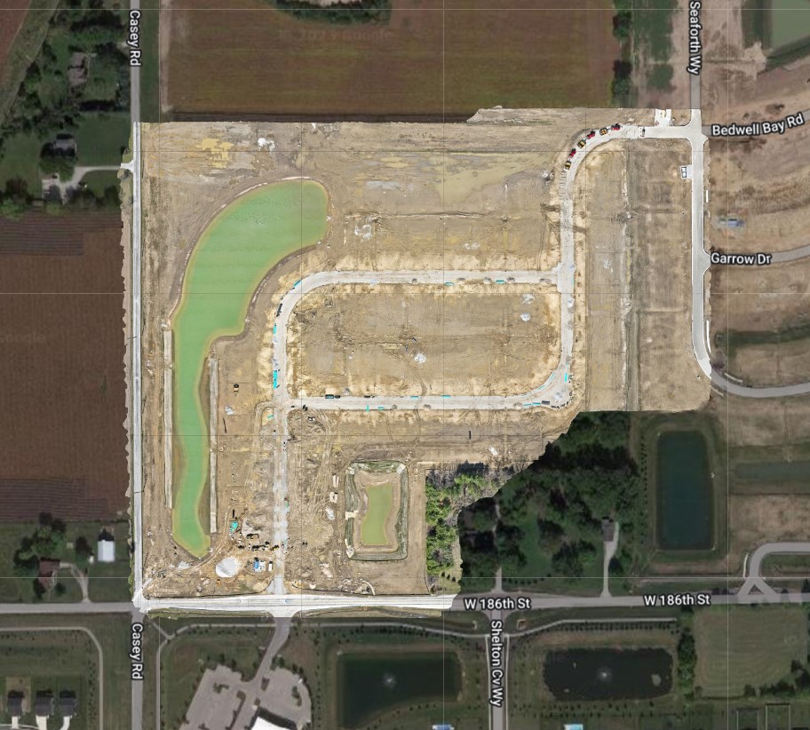
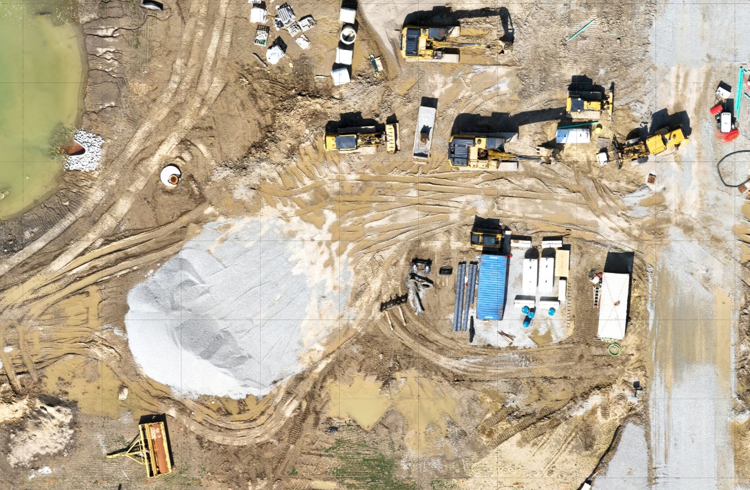
Mapping Made Easy: 2D Orthomosaic Maps
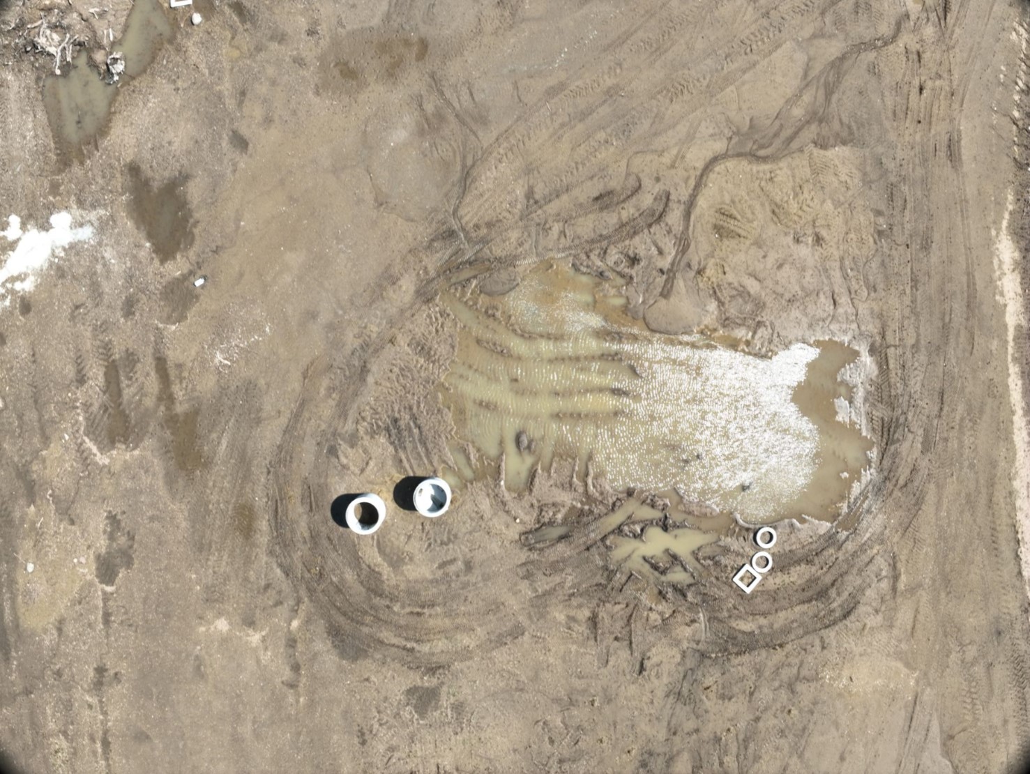
- A Tapestry of Images: Imagine a jigsaw puzzle of aerial photos, perfectly pieced together. That’s what we do with our 2D orthomosaic maps. Each map is a mosaic of high-quality images, offering a crystal-clear view of your chosen area.
- Spot-On Accuracy: Accuracy is key, and we hit the mark every time. Our maps are loaded with precise measurements and coordinates, benefiting industries from construction to real estate.
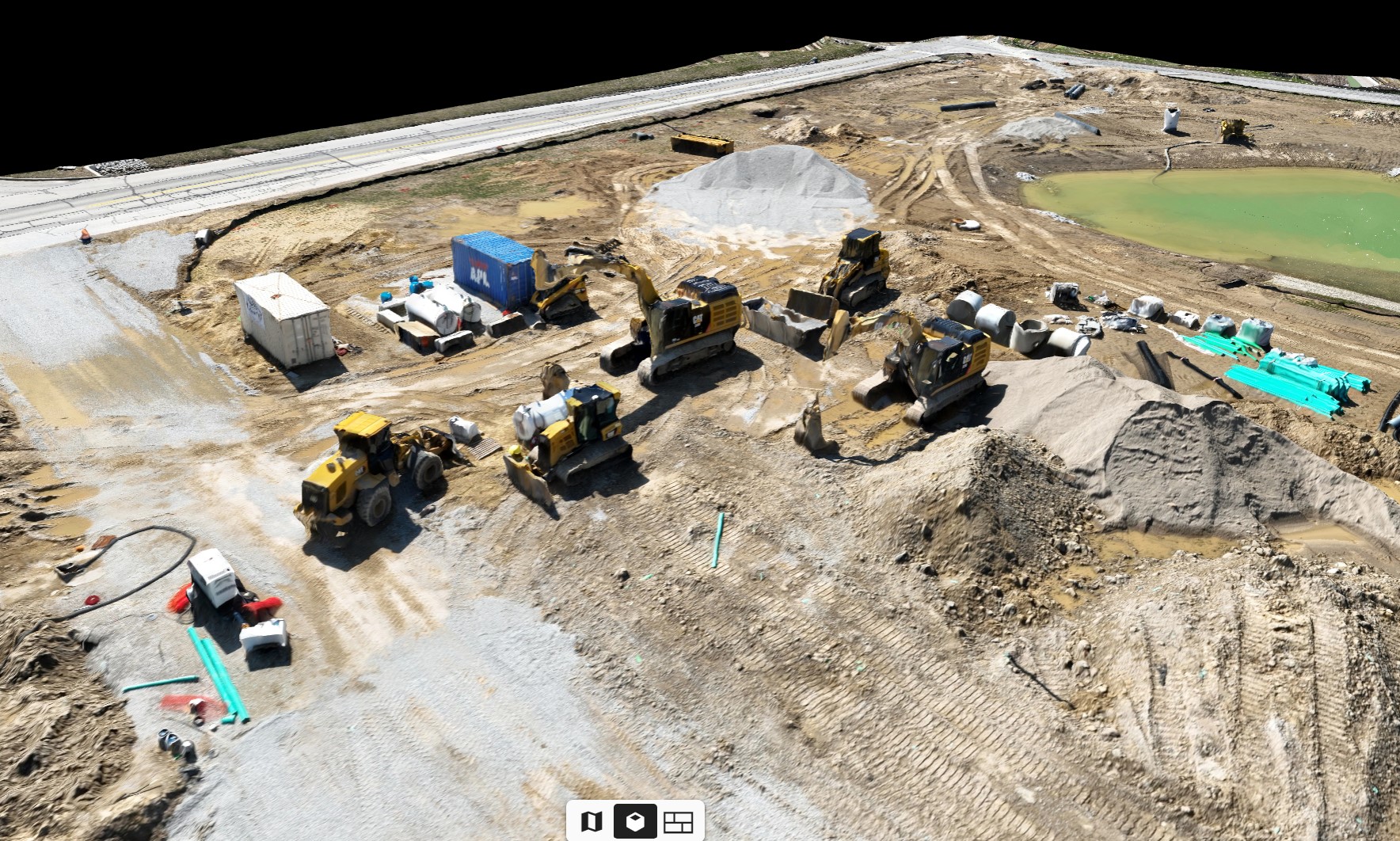
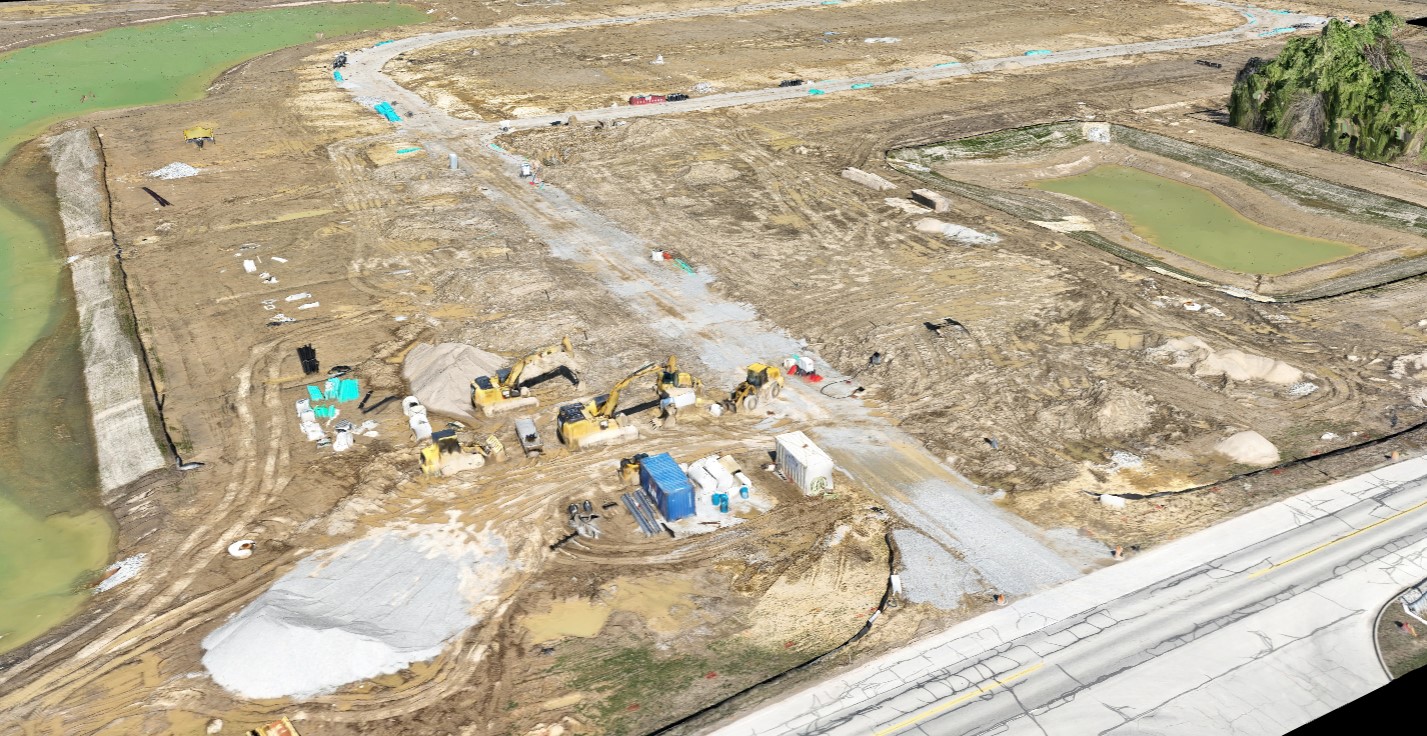
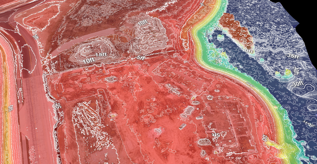
3D Models: Your World, Elevated
- Beyond Flat Maps: We bring your projects to life with our 3D models. These models are not just about looks; they offer a true-to-life representation of landscapes and structures, perfect for planning, surveying, and building.
- Versatile Uses: From showing you the lay of the land in construction to helping identify risks, our 3D models are invaluable tools for a range of applications.
Why Our Drone Mapping Stands Out
- Safety and Efficiency in Construction: Using our maps means safer construction sites. We provide the data to spot hazards before they become problems, helping you build not just faster, but safer.
- Farming with Foresight: For agriculture, our maps are like a health check for crops. Spotting problem areas early means less need for chemicals, leading to healthier crops and savings on resources.
- Urban Planning, Simplified: In city planning, our maps and models are indispensable. They help in creating accurate plans, foreseeing project effects, and smoothing out stakeholder discussions.
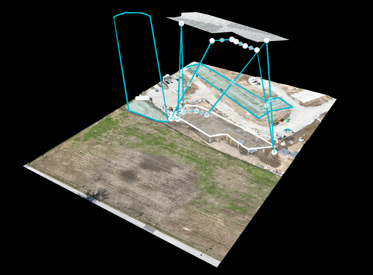
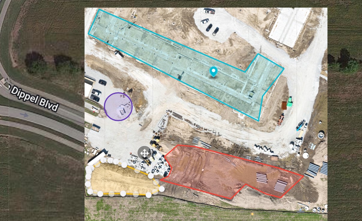
Drone Deploy: Revolutionizing Aerial Mapping
- State-of-the-Art Mapping at Your Fingertips: We harness the power of Drone Deploy to make mapping a breeze. This advanced platform turns aerial images into detailed maps and models, making complex data easy to understand and use.
- For Every Industry: Whether you’re a farmer monitoring crops or a builder surveying a site, Drone Deploy’s user-friendly features and smart algorithms bring a new level of insight to your work.
Choose Indy Drone Video for Unmatched Mapping Expertise
- Professional and Insured: Rest easy knowing our team is FAA Part 107 certified and insured. We handle every project with the utmost professionalism and safety.
- Your Data, Anytime: Using Drone Deploy, we ensure you get not just accurate but easily accessible maps and models. View, download, and measure anytime you need.
Curious about how our drone mapping can help you? Reach out to us for a free quote or just to chat about your project. We’re excited to show you the world from a different angle!
More than Just Mapping
But wait…there’s more! We also offering exciting videos that can be used for your construction business’ marketing. Spice up your social media and marketing campaigns with a fun drone video shoot like the one below:
We're Listed on UpCity
Looking for high-quality drone video production services in Indianapolis? Indy Drone Video is on their hand-crafted list of the best drone video production companies based on customer reviews, business descriptions, portfolios, detailed service offerings, awards, and more.
Expert-guided drone video content can bring your marketing campaign to the next level. If you’re looking for help with pre-production, post-production, or even motion graphics, choose Indy Drone Video!