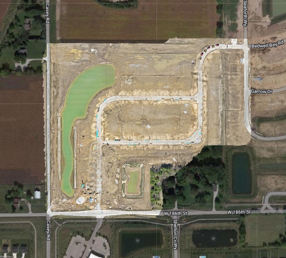
At Indy Drone Video, we offer drone mapping services. But we are also eager to teach new drone pilots how to perfect the skill of flying there drones for mapping. Here are some tips to get the most from your drone when it comes to mapping. And if you would like more education on the subject, or if you would just like to accompany us on an upcoming job, don’t hesitate to reach out.
Whether you’re mapping for surveying, construction, agriculture, or real estate, we’ve got some fantastic tips to help you capture the best mapping pictures possible. So, fasten your seatbelts and let’s dive into these friendly and practical best practices!
- Plan Your Mission Like a Pro: Before taking off, let’s start by planning our mission thoroughly. Take some time to get familiar with the area you’ll be mapping, identify any no-fly zones, and consider the environmental conditions. To optimize your coverage, use mapping software or apps (such as Drone Deploy) to create a flight plan, setting waypoints and flight altitude. With proper planning, you’ll ensure efficient and effective mapping.
- Choose the Perfect Drone and Camera Combo: Now, let’s talk gear! Choosing the right drone and camera setup is crucial for capturing top-notch mapping pictures. Look for a drone with excellent payload capacity, flight time, stability, and camera capabilities. Opt for a high-resolution camera with a stable gimbal to capture crisp and detailed images. Don’t forget to select a camera with a wide-angle lens to capture more in a single shot! At Indy Drone Video, we use the DJI Mavic 3 Enterprise, exclusively, which has the longest battery life and an amazing camera!
- Unlock the Magic of Camera Settings: To capture those jaw-dropping mapping pictures, let’s dive into our camera settings. Set your camera to capture images in RAW or DNG format for greater flexibility during post-processing. Adjust the ISO, shutter speed, and aperture according to the lighting conditions for that perfect exposure. Feel free to experiment with settings to find the sweet spot between image quality and file size.
- GPS and Image Overlap: Your Dynamic Duo: For accurate and seamless mapping, let’s make the most of our drone’s GPS capabilities and maintain proper image overlap. Activate the GPS positioning feature to ensure precise positioning data for each image. Aim for a 60-80% overlap between consecutive images. This smart overlap will make stitching them together during post-processing a breeze, resulting in accurate and detailed maps.
- Wait for Ideal Weather Conditions to Soar: Now, let’s check the weather forecast! To capture mapping pictures that will make others go “wow,” it’s best to choose a day with clear skies, minimal wind, and optimal lighting conditions. Save your flights for another day if you encounter harsh weather like heavy rain, strong winds, or low visibility. Remember, safety always comes first, and we want our flights to be smooth and successful. Also, shoot for the best times of day when the sun is directly overhead, avoiding early morning or late afternoon shadows.
- Master the Art of Flight: Ready for takeoff? Here’s a tip: practice makes perfect! Refine your flight techniques to enhance your mapping photography skills. Fly with smooth and controlled movements, avoiding sudden jerks that might affect image sharpness. Maintain a consistent altitude and speed throughout your flight to ensure uniform image resolution. Take advantage of advanced flight modes, like waypoint navigation or orbit mode, to capture complex mapping data with ease.
- Post-Processing: Unleash Your Creativity: Congratulations on completing your mapping flight! Now it’s time to unlock the full potential of your images through post-processing. Use specialized mapping software or image editing tools to stitch images together, remove lens distortion, and enhance overall image quality. Don’t be afraid to explore techniques like color correction, exposure adjustments, and noise reduction to create accurate and visually stunning mapping pictures.
With these friendly and practical tips, you’re well on your way to capturing exceptional mapping pictures that will leave everyone in awe. Remember to plan meticulously, optimize your camera settings, embrace the power of GPS technology, and have fun with post-processing. So, let your imagination soar and enjoy the incredible journey of capturing stunning mapping pictures. Each flight is an opportunity to explore new perspectives and showcase the world from above.
Safety is always our top priority at Indy Drone Video. Stay updated on local regulations and adhere to them diligently. Regularly check your equipment for any signs of wear and perform routine maintenance to ensure optimal performance.
Once you gain the confidence needed to start drone mapping, let us know. Maybe we will hire you to do drone mapping jobs for us! Happy flying and mapping!
For drone mapping services, contact us at Indy Drone Video, today.