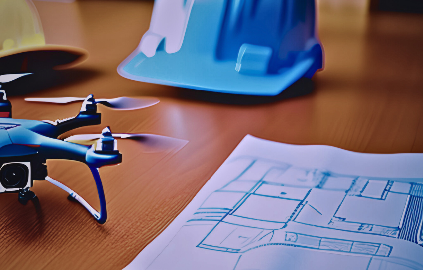
Unveiling the Transformative Power of Drones in Infrastructure Projects
In the realm of infrastructure planning, the integration of drone technology is revolutionizing how projects are envisioned and executed. From detailed topographical data to stunning aerial visuals, drones offer unparalleled efficiency and innovation. This article explores how drones are transforming modern infrastructure projects, enhancing accuracy, and reshaping traditional methodologies. Dive into the world of drone aerial footage to see why these flying marvels are the future of design and construction.
How Drone Technology is Revolutionizing Infrastructure Planning
Drones have brought a new perspective to infrastructure development, making static blueprints a thing of the past. Today, planners can visualize projects in real-time, aided by dynamic aerial views that streamline decision-making.
- Unmatched Aerial Perspectives: Drones capture comprehensive site overviews, allowing planners to assess land layouts and construction zones with precision.
- Enhanced Visualization Tools: High-definition footage helps stakeholders understand project scope better than static images ever could.
- Accessibility to Challenging Locations: Drones navigate remote and hazardous areas, ensuring safety while providing detailed data.
By integrating drones into the planning process, projects become more efficient and well-informed from the outset.
Key Features That Make Drones Indispensable
Modern drones are equipped with cutting-edge technology, transforming them into indispensable tools for infrastructure projects. These features ensure precise and comprehensive data collection.
- High-Resolution Cameras: Capture crisp aerial footage for analysis and presentations.
- Advanced Sensors: Measure elevation, distance, and environmental factors critical for construction.
- GPS Integration: Enable exact mapping of project sites, ensuring accuracy in planning.
- Real-Time Data Processing: Provide instant insights, minimizing delays in decision-making.
These features combine to make drones a reliable asset for architects, engineers, and urban planners alike.
Practical Applications of Drones in Infrastructure
Drones are not just for photography—they’re redefining how infrastructure projects are approached, designed, and executed.
- Surveying and Mapping: Drones generate accurate 3D models and maps, providing essential groundwork for design.
- Progress Monitoring: Regular flyovers track construction progress, identifying potential delays or issues.
- Structural Inspections: Drones safely assess bridges, high-rise buildings, and other structures for wear and integrity.
- Environmental Assessments: Capture data to evaluate ecological impact before breaking ground.
Their versatility ensures drones are valuable at every stage of the infrastructure development lifecycle.
The Seamless Workflow of Drone-Assisted Projects
Integrating drone technology into infrastructure projects is a straightforward process that delivers remarkable results. Here’s how it works:
- Initial Deployment: Trained drone pilots survey the project site, capturing visuals and sensor data.
- Data Collection: High-definition imagery and topographical measurements are recorded.
- Processing and Analysis: Software converts raw data into detailed maps, 3D models, and actionable insights.
- Implementation: Planners use the processed data to refine designs and guide project execution.
This streamlined workflow reduces errors, enhances collaboration, and saves time.
Indy Drone Video: Elevate Your Projects to New Heights
At Indy Drone Video, we specialize in providing cutting-edge aerial solutions tailored to your infrastructure needs. Our experienced pilots and state-of-the-art equipment ensure every project is executed with precision and professionalism.
- Custom Solutions: Whether it’s a bustling urban development or a rural roadway, we capture the right data for your project.
- Expert Insights: With years of experience, our team offers guidance to maximize the value of drone technology.
- Commitment to Quality: We deliver high-resolution visuals and reliable data to support informed decision-making.
Partner with Indy Drone Video for unparalleled drone services and take your infrastructure projects to the next level.
The Future of Drones in Infrastructure Development
As technology evolves, drones are set to become even more integral to construction and planning. Emerging advancements promise exciting possibilities:
- AI Integration: Future drones could analyze footage in real-time, identifying potential issues before they escalate.
- Automated Flight Plans: Pre-programmed routes will increase efficiency and data consistency.
- Sustainability Efforts: Drones will play a key role in minimizing environmental impact during development.
By staying ahead of these trends, organizations can leverage drones to meet the challenges of tomorrow’s infrastructure demands.
Why Indy Drone Video is Your Best Choice
Choosing the right drone service provider can make all the difference for your infrastructure projects. At Indy Drone Video, we combine expertise, technology, and a client-first approach to deliver exceptional results.
- Tailored Services: We understand that every project is unique, and our services reflect your specific needs.
- Innovative Technology: Our cutting-edge equipment ensures the highest quality data and visuals.
- Trusted Partner: From initial consultation to project completion, we work closely with you every step of the way.
Let Indy Drone Video elevate your next project with unparalleled aerial solutions. Contact us today to learn more and experience the transformative power of drone technology.
